
Overview
Scaniverse: LiDAR and multi-sensor 3D capture
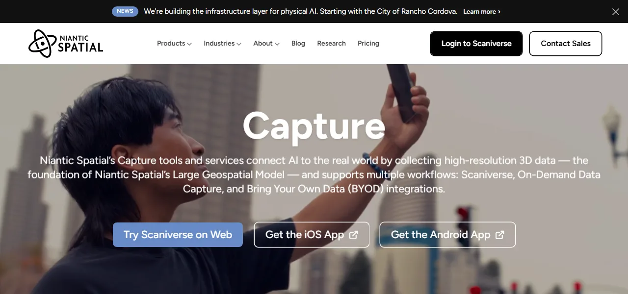
Scaniverse provides enterprise teams and spatial developers with high-precision 3D data capture and reconstruction capability designed for digital twin generation. Developed under Niantic Spatial, the solution leverages mobile sensor inputs, aerial drone capture, and LiDAR hardware to process physical environments into highly detailed spatial models. Built to support industries including robotics, defense, spatial computing, and civil engineering, Scaniverse ingests diverse multi-sensor streams through its web portal and mobile applications on iOS and Android. Its computer vision processing pipelines reconstruct physical scale, depth, and surface textures, enabling precise spatial mapping for autonomous systems and simulation platforms. Integration options like Bring Your Own Data support flexible data aggregation across varied hardware fleets. Through collaboration with simulation networks, the platform facilitates real-world data collection necessary for training AI perception algorithms and autonomous navigation models. While Scaniverse handles environmental scanning efficiently, teams requiring direct parametric CAD model editing may need intermediate conversion steps prior to engineering integration. Ultimately, the platform delivers scalable, high-resolution spatial capture that bridges physical infrastructure with interactive 3D digital environments.